May 28, 2019, started out as a typical May day in the Central Plains with a chance of severe afternoon storms. What happened the evening hours would change the area forever.
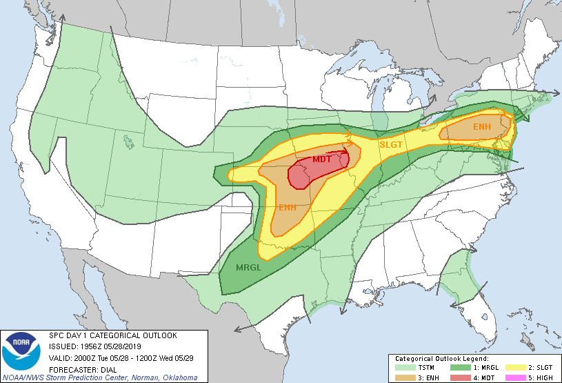
Image: Storm Prediction Center
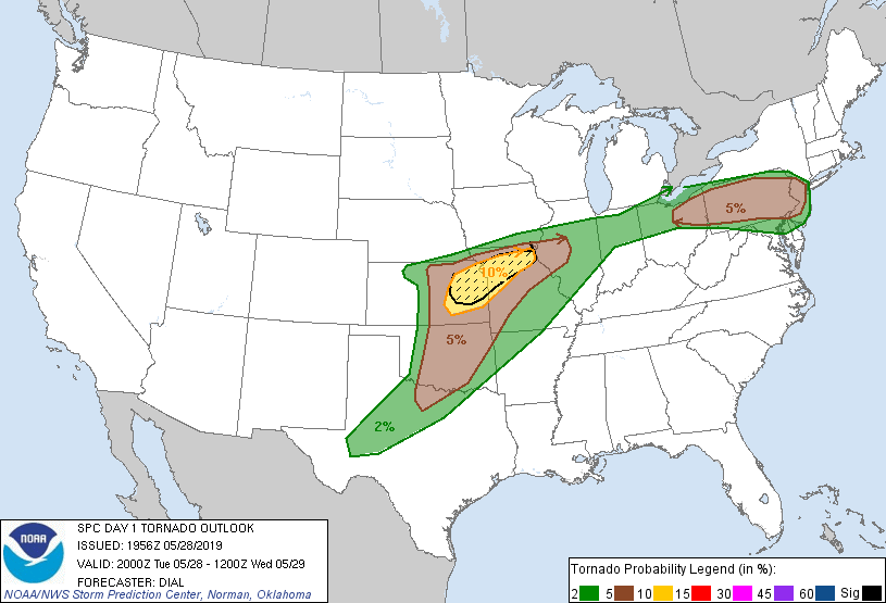
Image: Storm Prediction Center
A tornado formed just west of Kansas City, in Douglas County, Kansas, around 6 PM and moved northeast, moving through the southern side of Lawrence, just west of Eudora, crossing the Kansas River, then hitting the west side of Linwood in Leavenworth County.
At its most intense, the twister grew to a mile wide near Linwood.
The tornado then began to dissipate, but the supercell thunderstorm did drop another twister, just north of Kansas City around the Kearney area.
After the NWS survey team looked at the damage from both twisters, they determined EF-4 damage was found in spots around Linwood, which means wind speeds could have peaked at 170 MPH. The Kearney tornado was labeled as an EF-2 twister, with wind speeds of 115 MPH.
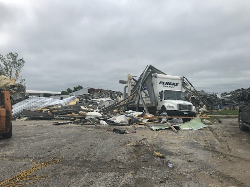
Image: NWS Survey
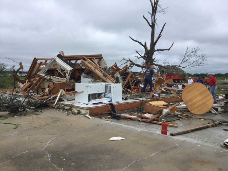
Image: NWS Survey
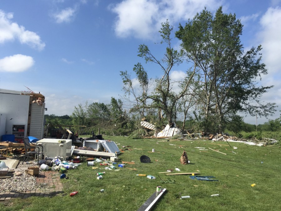
Image: NWS Survey
Even with the widespread damage and the path through towns and communities on both sides of the state line, no deaths were reported. Eighteen in total were injured by the EF-4 tornado in Douglas and Leavenworth counties.