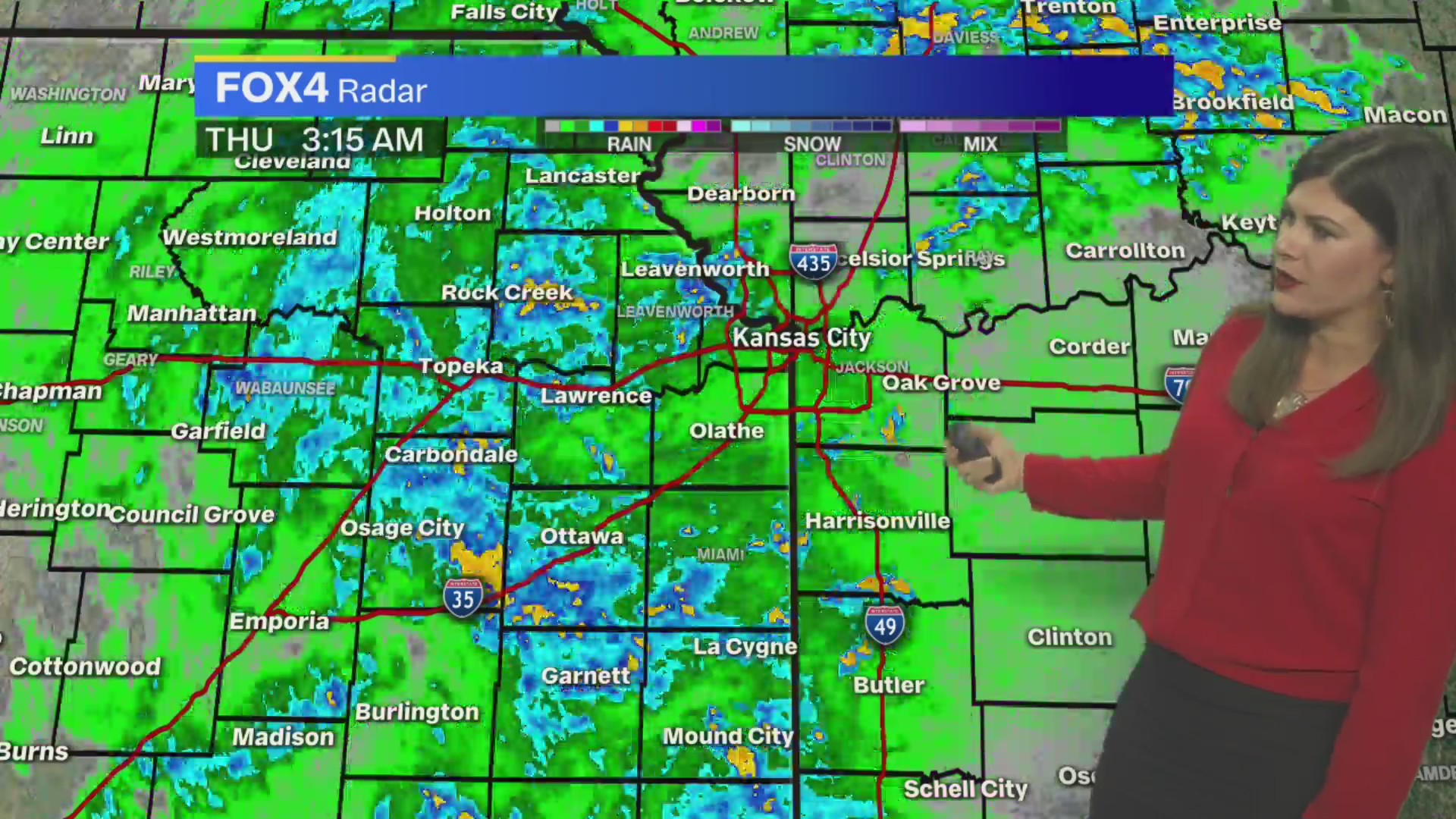
Good morning…as I start this blog powerful thunderstorms with a history of some hail and near 60 MPH winds are ripping through the Metro. Some very heavy rain is also creating some localized flooding on some of the roads in the area…so a pretty loud start to Monday in the region.
There will be more storms developing overnight into Tuesday morning as well as a boundary gets to the south of here and winds above that boundary blow over it creating lift and the next round. More locally heavy rain is possible as well overnight.
So for most of August we couldn’t buy a drop of rain…although that changed quite a bit these last couple of days as another almost 1″ of rain has fallen this morning. So the monthly total now is going to be well over 2″ at least.
__________________________________________________________________________
Forecast:
Today: Variable clouds and not as warm. Highs today may struggle to get to 80° after all the rain cooled air slowly modifies. There may be a few spotty storms/showers this afternoon but odds are we’ll be pretty worked over from this morning’s activity.
Tonight: New storms/showers should form at some point overnight. Temperatures will be in the 60s
Tomorrow: Storms/Rain possible through the morning…showers in the aftenoon. Highs in the 70s
Wednesday: Should be a better day with highs 80-85°
____________________________________________________________________________
Discussion:
Pretty stormy out there this morning…there has been some hail…mostly pea-sized to dime-sized. There have been numerous 50-60 MPH wind gusts as well. There has been some locally heavy rains…everything that the dry ground could want I guess. Bad timing for rush hour though with everything happening during the morning commute.
A cold front is the cause of this. Last night (after a comfortable weekend of humidity) the dew points ahead of the front popped to near, if not above 70°…pretty juicy low-level air…and as storms developed in NE…they dropped into that juicy air and voila…big storms.
As I type this the storms are winding down at my house but it was a good rain for sure…and a wind blow one. A sever thunderstorm watch is in effect for the rest of the morning for areas SE of KC. This may get cancelled early and certainly will be trimmed by 11AM.

Onwards…
We’ll see how far south these storms push the boundary today before it stalls and then tries retreating back north tonight. As that process occurs winds above the surface will start blowing above the surface front. That creates lift…and when you combine a disturbance coming towards the northeast from western OK…that should help the cause…so once again more storms are possible.
There may be some pretty heavy rains as well…especially for areas south of the Metro overnight into Tuesday…2-3+” wouldn’t surprise me from this set-up…although the storms are moving along at a pretty good clip as opposed to slowly moving through.
Wednesday should be a lull…and temperatures will recover a bit…Thursday may be the hottest day of the week with highs popping well into the 80s but a cold front is coming through as well on Thursday which will send temperatures down a bit for Friday before we do the whole thing again over the weekend.
The back half of the weekend cold front..coming on Sunday (timing may change) will bring a substantial shot of cooler weather into the region at some point and this will send temperatures way down for the holiday and into at least part of next week. It will be a taste of fall for a few days next week…and may be the 1st night or to of 40s depending on how things set up with clouds and wind etc. Here is the 6-10 day forecast.

So some big changes for next week…something that we’ll be talking about quite a bit as this week moves along. Summer is slipping through our fingers.
Will we get above 90° again?
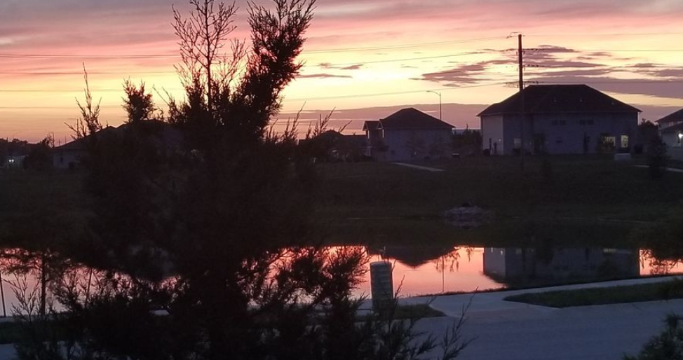
Our feature photo comes from instagram via kcmo_grizzle

Joe

