1PM Update: The rain will be winding down from west to east and getting more intermittent over the next several hours. There is already some sunshine just west of the metro and also across NW MO, and some of that drier air will work our way later today and then tonight as the remnants of Isaac move farther away and wind down. Rainfall amounts are generally in the 3-7″ range for the KC metro area. There is no doubt that a serious dent has been put into the drought of 2012. It may not be over yet, we still need more but it’s taken a pretty good body blow all from one storm that was born out in the Atlantic Ocean. When you think about it…it really is amazing.
+++++++++
Well it’s safe to say that we’re in the sweet spot concerning the rainfall. My sump pump which works hard when there is heavy rainfall has been working hard all night. That tells me that there has been a bunch of rainfall and the rain gauges through the region point this out as well. Some are near 7″ and the rain is still falling.
Here are some of the totals from a few of the airports in the region since the storm began through 7AM Satuday.
KCI: 1.44″
St Joseph: .95″
Downtown: 4.68″
Gardner: 4.78″
Olathe: 5.30″
Sedalia: 1.68
Chillicothe: 3.91″
NWS radar from Pleasant Hill may even be underestimating the rainfall on it’s depiction with a tropical atmosphere in place. here is it’s latest product for you showing storm totals.

The center of the storm itself is still near Clinton, MO and not really moving. The NW side of the storm, almost like a big winter storm, has been pivoting on top of the I-35 corridor for hours now, creating the locally heavy rainfall. If you’re wondering, YES I’m surprised. I thought maybe 1-3″ would be doable if things changed a bit with the track of the heaviest rainfall. I did not see a 3-7+” rainstorm for most of the metro area. We just happened to get in the sweet spot of the storm for the 1st time in months.
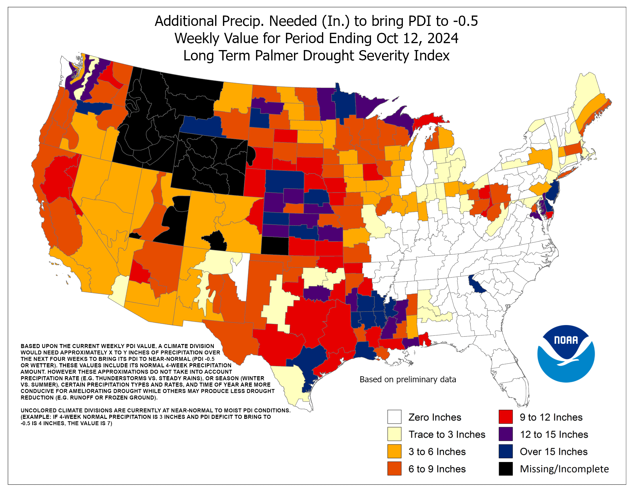
Speaking of that look at this graphic, showing how much rainfall is needed to break the drought.

Basically it showed that we need some 9-15″ of rain to get us where we need to be…and while we won’t get that much, still we’re going down the road to easing the drought and I would expect a change in the drought monitor coming out later next week because of the remnants of Isaac.
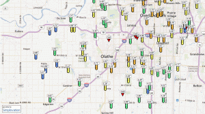
Here is a look at a multitude of rain gauges set up across the region. First let’s start south of the I-70 corridor…
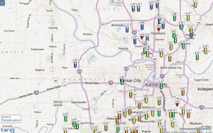
Now let’s move to the north side.
Click on those images to make them larger…a very impressive Friday and Saturday AM and there is more on the way.
The rain however doesn’t go that far to the west. That part was expected. While all summer folks seemed to get more rainfall west and northwest of the metro, this time they are mostly missing out. While Lawrence has had 1.3″ or so, Topeka has had .35″ of rainfall with very little rainfall overnight while we saw 2-4″ of additional rainfall overnight alone. The back edge of the rain is just west of Lawrence and areas farther west should be mostly rain-free today.
So the last day of “meteorological” summer was a wet one and the first day of meteorological fall is a wet one as well. Speaking of that August finished with average temperatures 2/10’s of a degree BELOW average making August 2012 the 1st BELOW average month since September 2011!
As far as the summer that was, our average temperature was 79.8° which makes this summer the 13th hottest in our weather history. We tied 1957 and 1938. Other summers that were hotter are listed below.
1 1934 84.9
2 1936 84.4
3 1954 82.6
4 1901 81.9
5 1953 81.2
6 1913 80.9
7 1918 80.8
8 1952 80.5
9 1937 80.3
10 1980 80.2
11 1956 80.0
12 1963 79.9
13 1957 79.8
13 1938 79.8
13 2012 79.8
One of the reasons why the summer didn’t rank higher was the overnight lows, while warmer than average they were more manageable. This was because of the drought and the dry terrain allowing the dewpoints be be unusually low for the summer months. This created, with light winds lots of “cool” mornings for the summer months.
As far as the rest of the weekend goes the rain will continue off and on today and become a little more on the off side later today into tonight as the system slowly crawls off towards the NE through the weekend.
Something that will happen for the next couple of days is a clearing trend that will allow the sunshine to heat things up again and that means a return to the 90s. With 3-7″ of rainwater in the area that needs evaporating that means a lot of humidity is expected.
Joe


